

Original map author: Petolaszlo
Collection design: Strategy Maps
Historical period: 1066–2020
Contents: Six historical and modern political maps of Europe
This is a historical map collection poster titled “Europe Through the Ages”, featuring six maps illustrating nearly 1,000 years of European history, from 1066 to 2020. Arranged chronologically, the maps trace the changing political geography of the continent, revealing the rise and fall of kingdoms, empires and modern nation-states.
Each map represents a defining moment in European history, offering a visual comparison of territorial boundaries, political powers and the historical events that reshaped the continent.
The six historical maps include:
1066 – The Age of Conquest
Europe during the age of medieval kingdoms, feudal dynasties and territorial expansion. The year 1066 is particularly remembered for the Norman Conquest of England, when William the Conqueror defeated King Harold II at the Battle of Hastings, transforming English politics, society and culture.
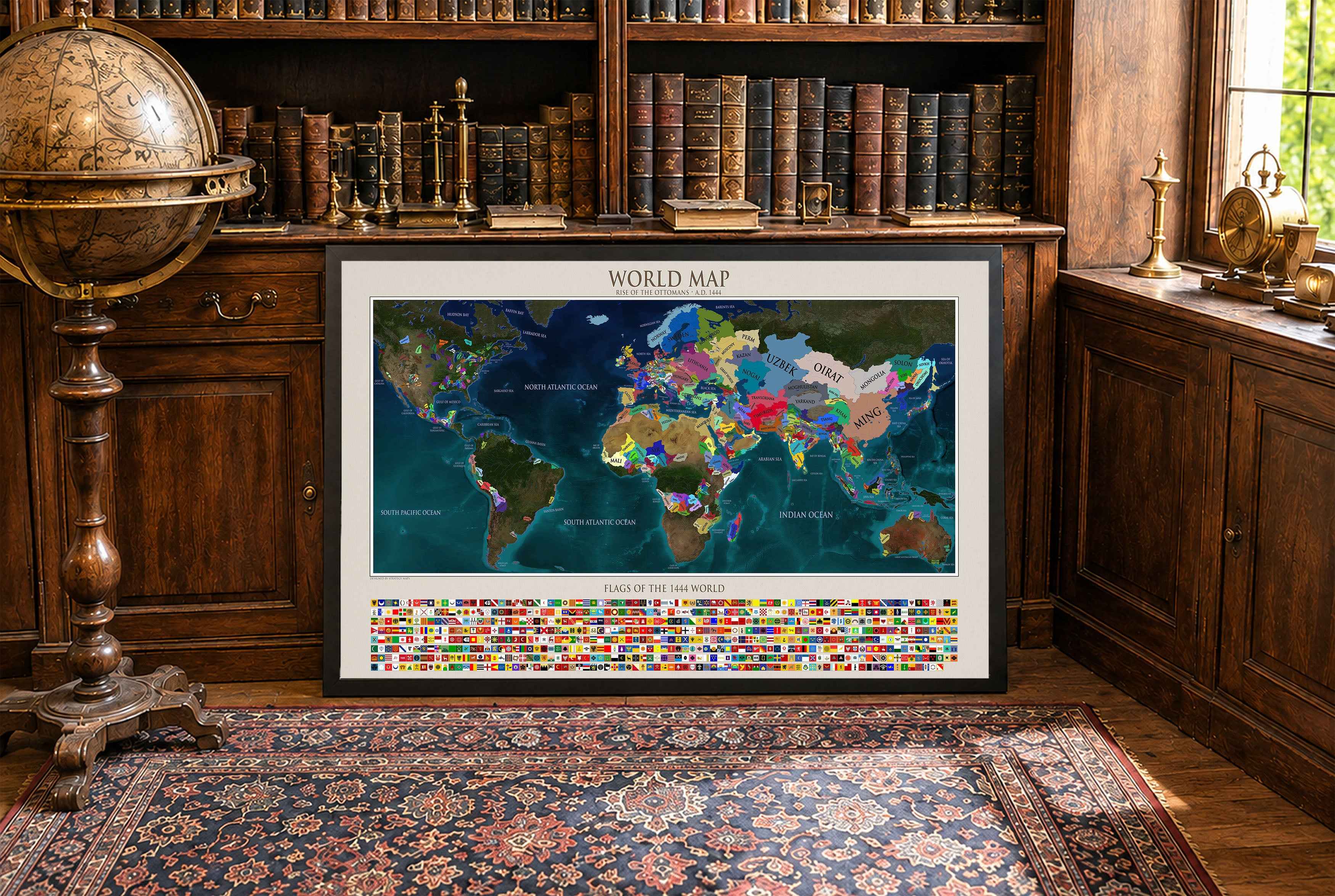
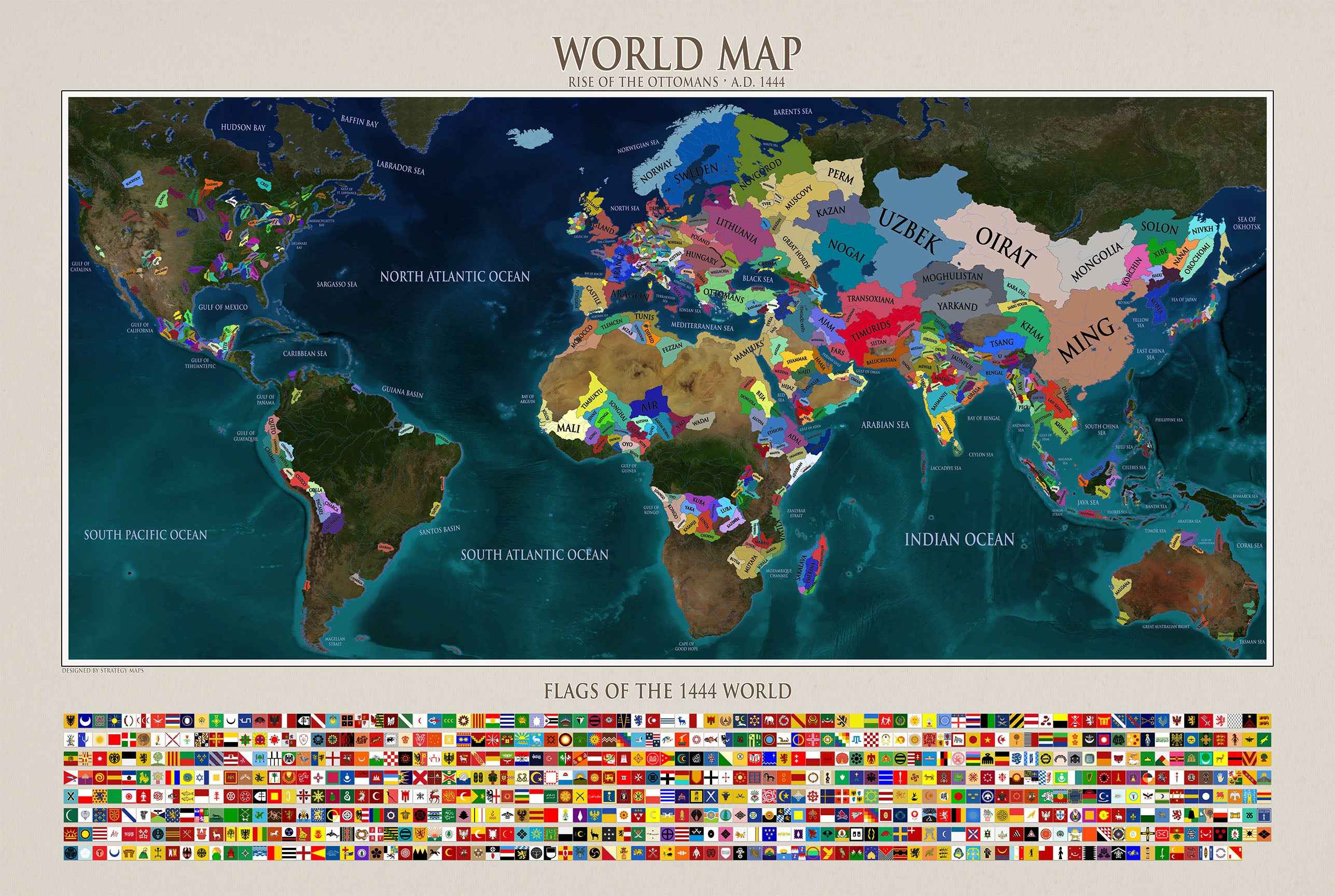
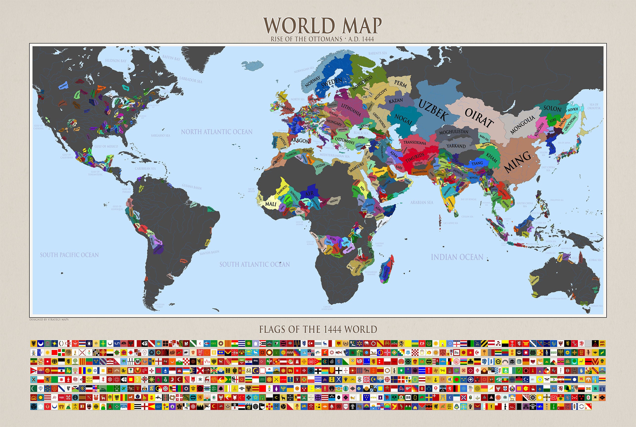
1444 – Rise of the Ottomans
Europe during the late Middle Ages, as the Ottoman Empire expanded into southeastern Europe and the Byzantine Empire approached its final years. The Battle of Varna in 1444 marked a major Ottoman victory, while powerful kingdoms and dynasties competed for influence across the continent.
1648 – The Peace of Westphalia
Europe at the conclusion of the Thirty Years' War (1618–1648), one of the most destructive conflicts in European history. The Peace of Westphalia reshaped political relationships within the Holy Roman Empire, recognized Dutch independence and confirmed Swiss independence, becoming an important milestone in the development of European diplomacy.
1815 – The Fall of Napoleon
Europe following the defeat of Napoleon Bonaparte and the conclusion of the Napoleonic Wars. The Congress of Vienna reorganized European borders, restored several traditional monarchies and established a new balance of power intended to preserve stability after decades of revolution and warfare.
1938 – On the Brink of War
Europe immediately before the outbreak of World War II. The continent was divided between democracies, authoritarian regimes and expanding dictatorships. Nazi Germany's annexation of Austria and the Munich Agreement of 1938 illustrated the growing crisis that would soon lead to another devastating European war.
2020 – Modern Europe
A map of contemporary Europe, showing the political landscape shaped by two world wars, the Cold War, the collapse of communist regimes and European integration. The map reflects the modern system of independent states and international borders that emerged from centuries of political transformation.
Together, these six maps provide a visual journey through medieval Europe, the Renaissance, the early modern period, the Napoleonic era, the World Wars and contemporary European history.
The collection is presented in a unified historical design, with ornamental frames, antique-inspired typography and a chronological layout, allowing viewers to compare the continent's changing borders across the centuries.
“Europe Through the Ages” is a historical wall art poster for enthusiasts of European history, historical cartography, geopolitics, medieval kingdoms, empires and political geography.
Map Credits & Licensing
Original maps created by Petolaszlo, available via Wikimedia Commons.
This poster features six historical and modern political maps of Europe, originally depicting the years 1066, 1444, 1648, 1815, 1938 and 2020.
Modifications: The original title areas have been removed, and the maps have been cropped, resized and arranged into a new six-map composition with custom titles, decorative borders and background design by Strategy Maps.
License: Creative Commons Attribution-ShareAlike 4.0 International (CC BY-SA 4.0).
The adapted map material is distributed under the same license, which permits commercial use, sharing and adaptation subject to its terms.
Original map sources:
Full license: Creative Commons CC BY-SA 4.0