


Author: Robert Wilkinson
Year: 1807
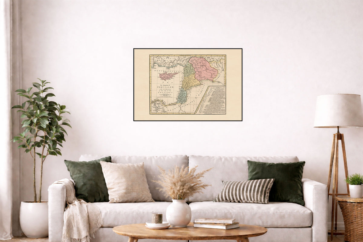
This is a reproduction print of the historical map “The Kingdom of Jerusalem with Its Environs at the Time of the Crusades”, authored and published by Robert Wilkinson in 1807 and engraved by E. Bourne.
This early 19th-century atlas map depicts the Kingdom of Jerusalem and surrounding regions during the Crusades, including Egypt, Israel, Lebanon, Syria, Cyprus, Edessa, and Antioch. Hand-colored regions distinguish the historical territories, while hachures and engraved relief give the map a detailed cartographic appearance.
A particularly notable feature is the Chrono-Genealogical Chart of the Kings of Jerusalem and Cyprus, providing a visual overview of the rulers and succession of the Crusader states.