


Das Bild zeigt "Bruxella", eine Karte von Brüssel, verfasst von Joan Blaeu und Willem Janszoon Blaeu, veröffentlicht im Jahr 1652. Dieses Werk ist Teil von Blaeus "Toonneel der Steeden van s'Konings Nederlanden, met hare Beschryvingen", einem Stadtatlas aus der Mitte des 17. Jahrhunderts. Komposition und Medium: Die Karte ist eine gravierte Illustration, typisch für die Zeit, gekennzeichnet durch akribische Detailgenauigkeit und Präzision. Die Handwerkskunst spiegelt die hohen Standards der kartografischen Kunst im Goldenen Zeitalter der Niederlande wider und betont sowohl Funktionalität als auch ästhetische Anziehungskraft.


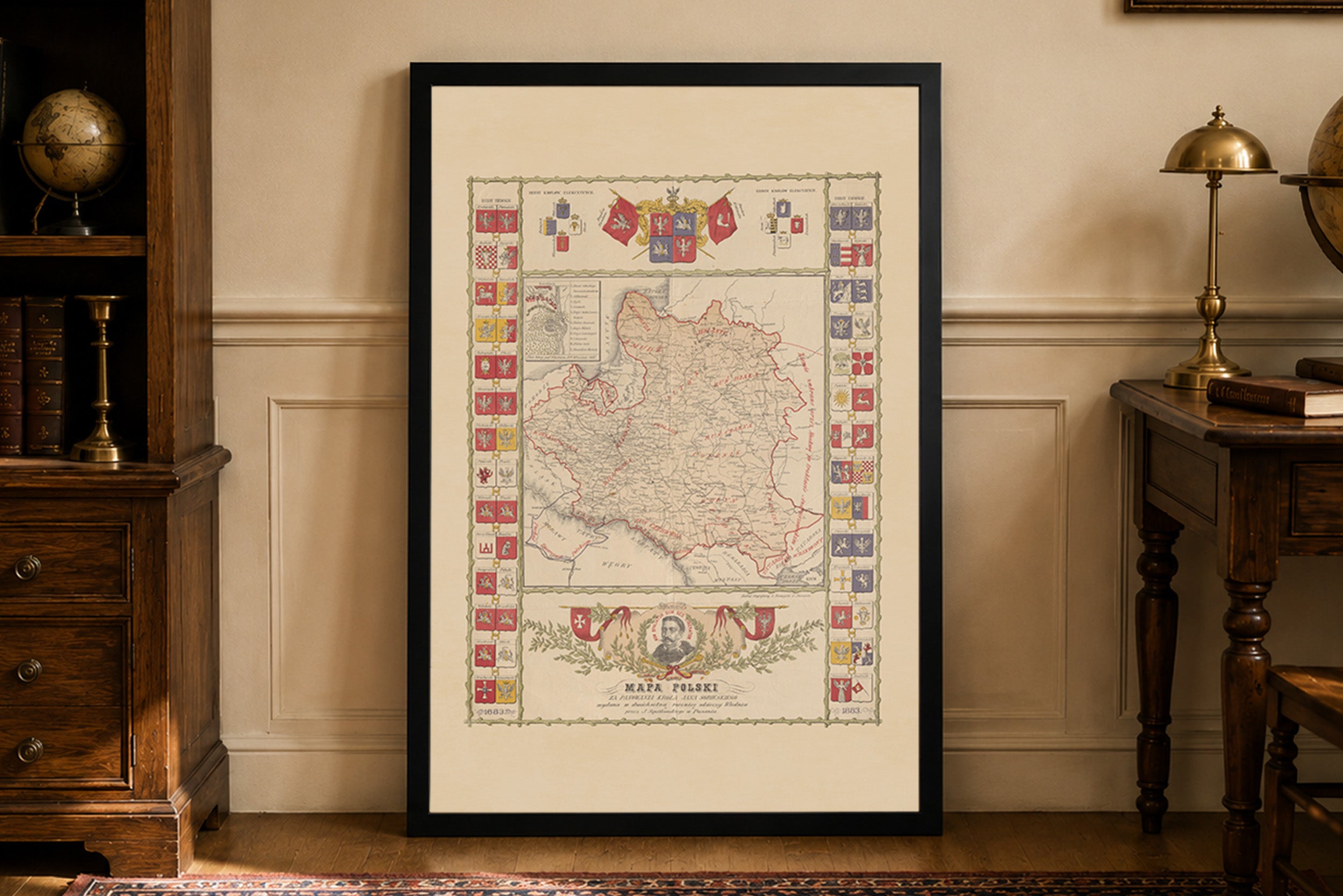
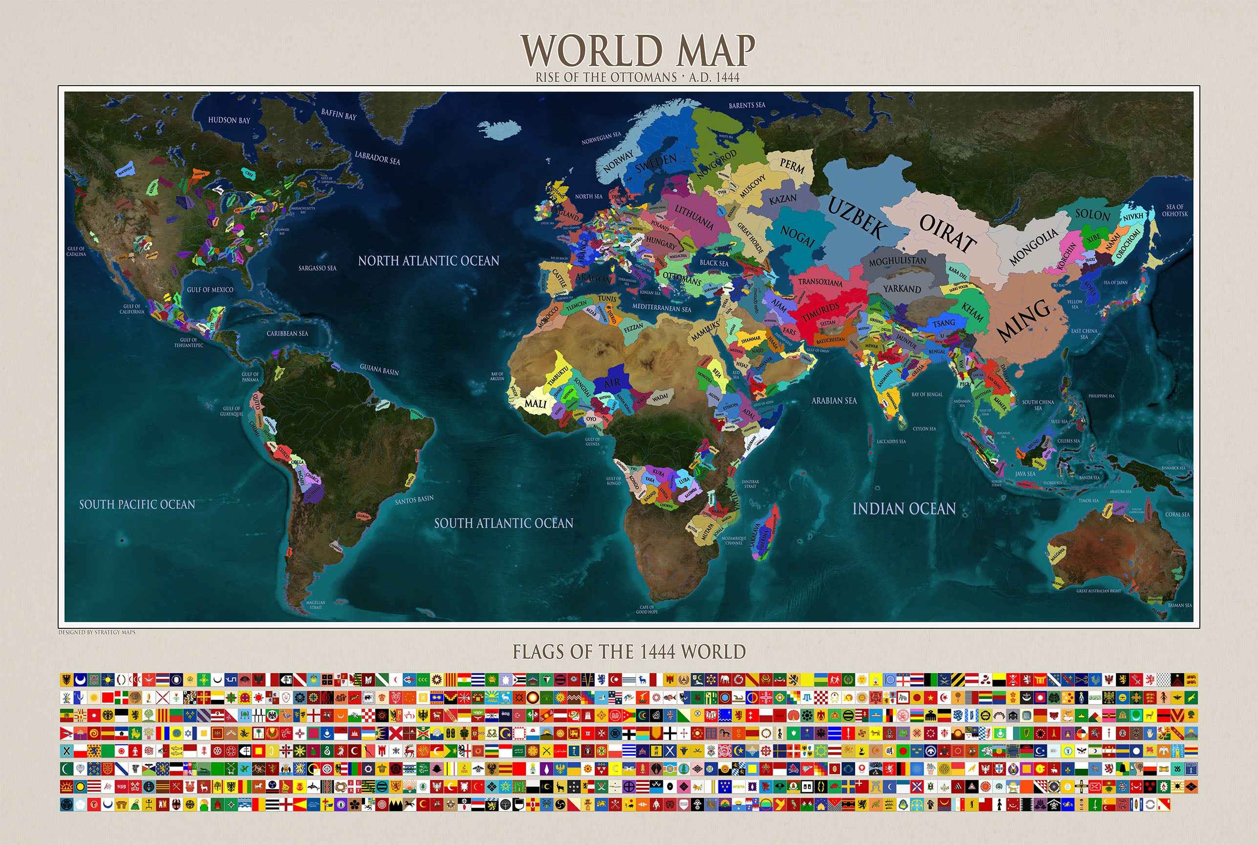
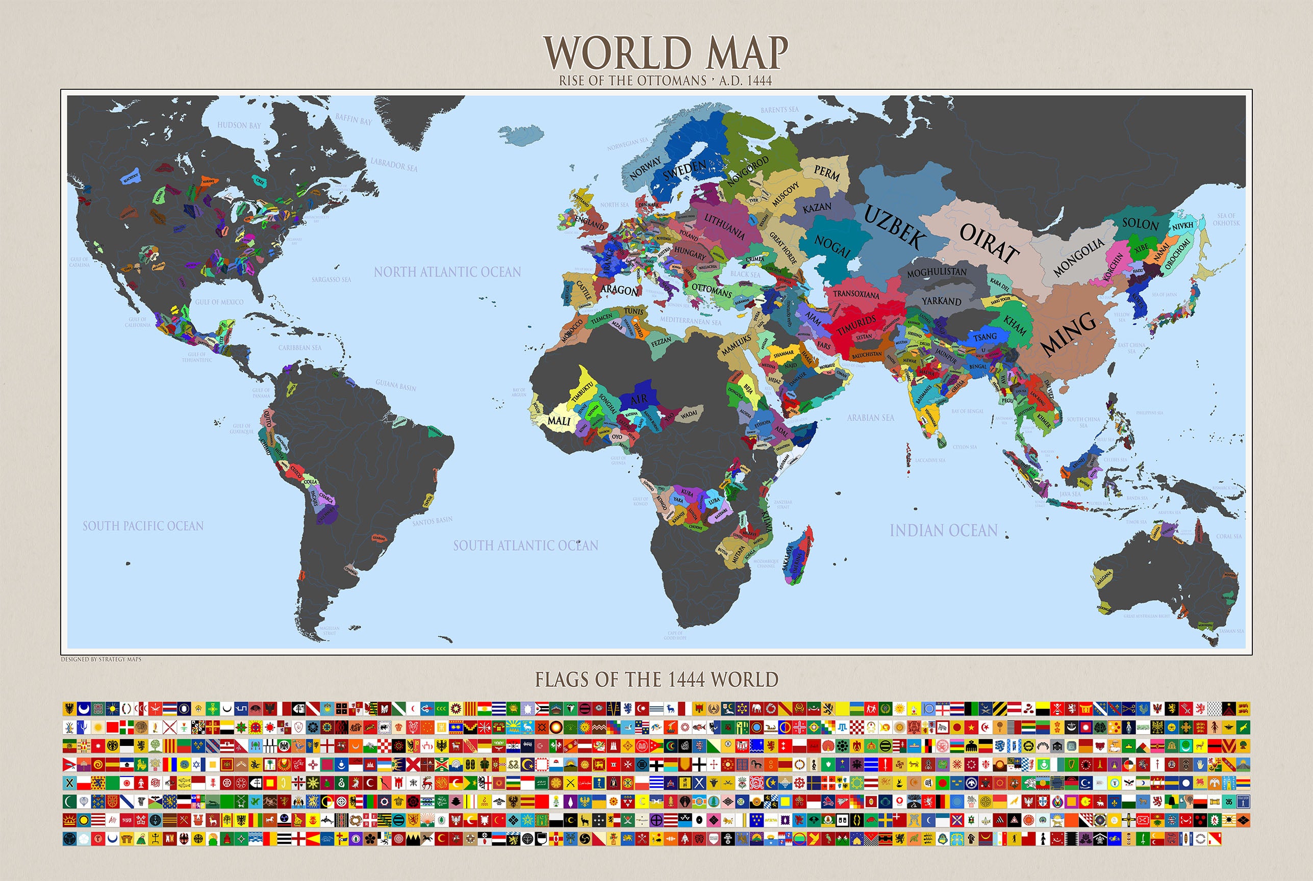


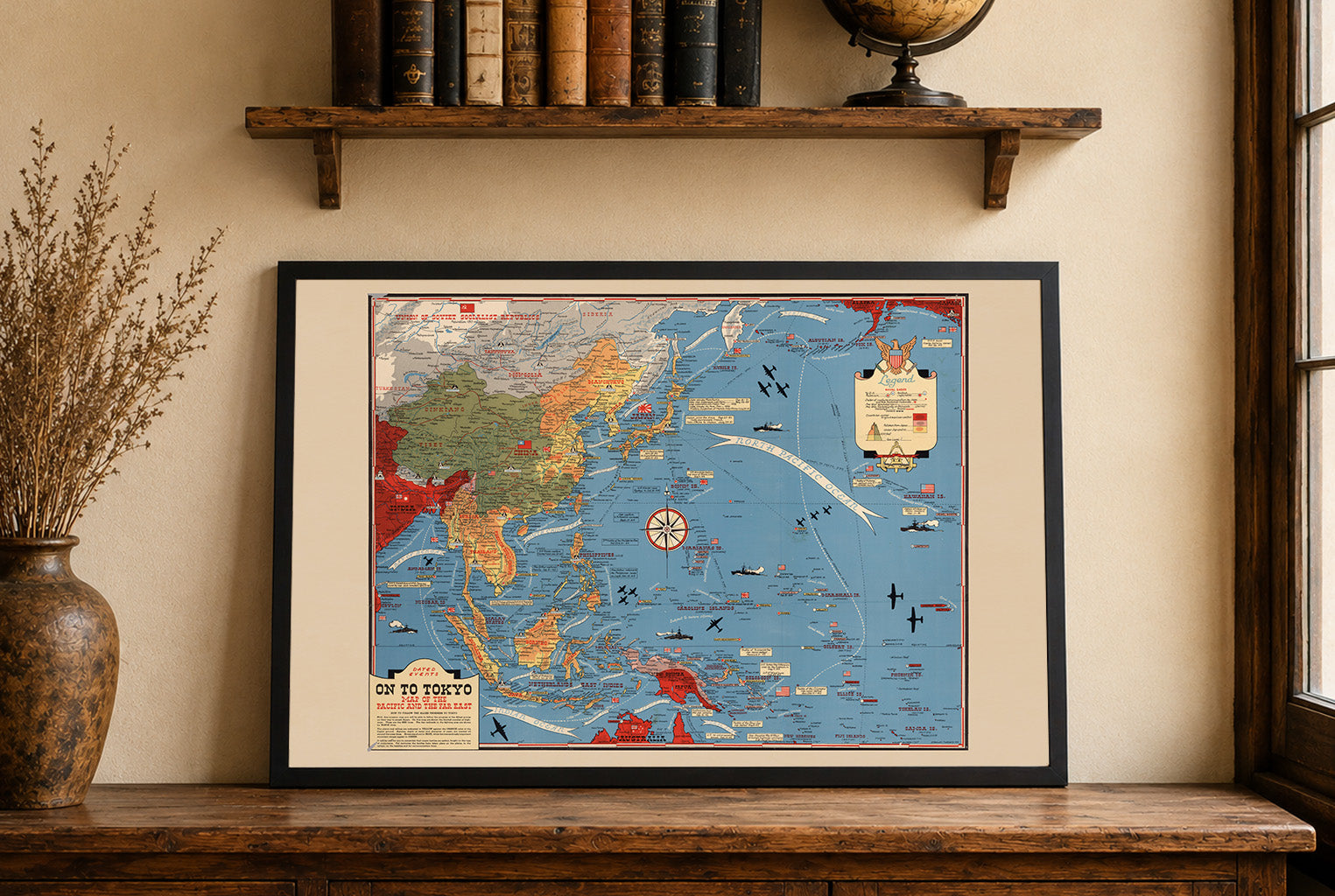




Super produkt i szybka obsługa. Zlewikk zgodził się na drobne poprawki i personalizacje mapy za co serdeczne podziękowania. Polecam z całego serca.
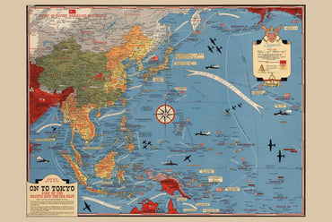
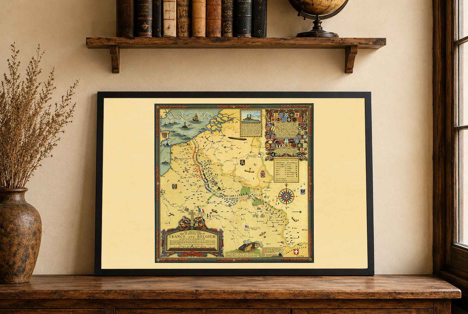
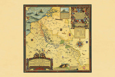
Maps came in a very well cushioned package with no damage occurring during transit. The color on the maps is nicely saturated and the maps look great on the wall.
Great quality, great packaging, great delivery! Highly recommend all maps!
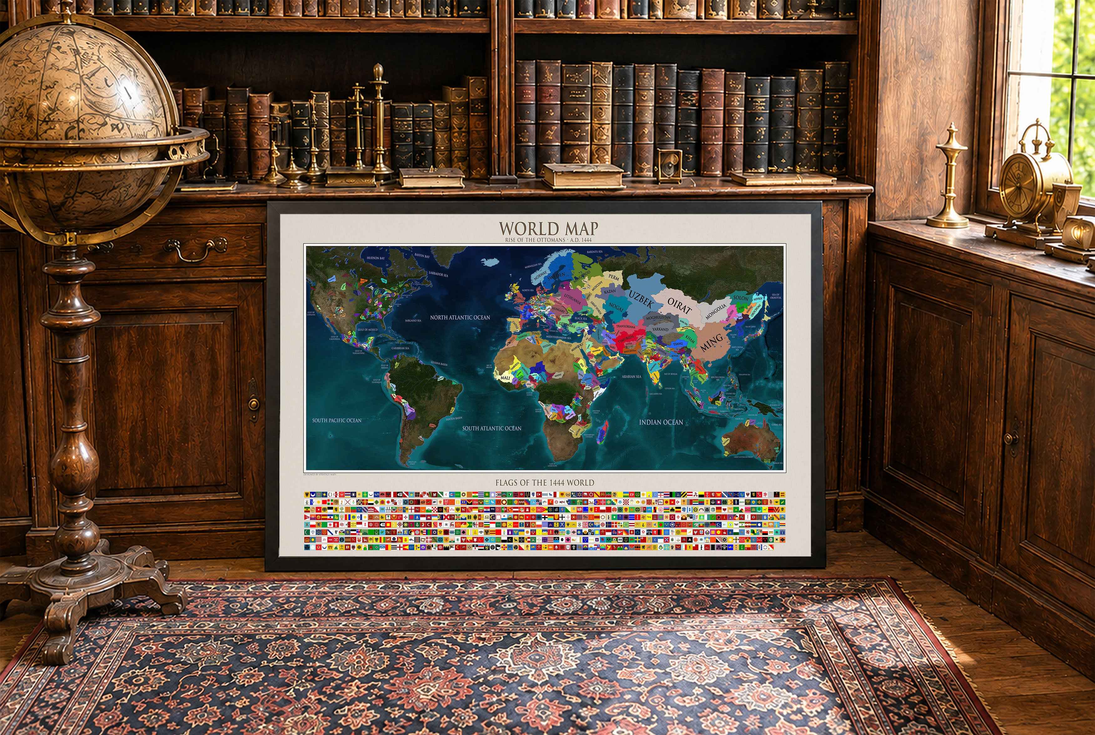
Great material and colour saturation and means I can choose a country to play before turning on my PC :P
Map arrived in perfect condition and quality for reading cities, rivers, mountains and regions. Incredibly helpful in sourcing the map I wanted and adding it to the store.